What Route 66 Actually Is — and Isn't
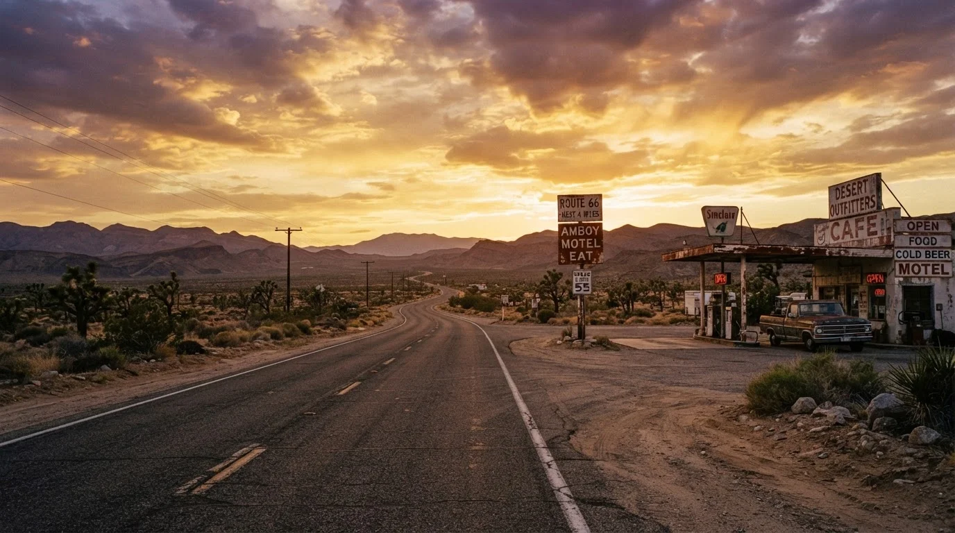
The mythology around Route 66 is real. The reality is more complicated. What most people picture — a continuous open road from the Midwest to the Pacific — hasn't existed since the federal government decommissioned the route in 1985. What remains is something more interesting and more challenging: a fragmented but largely driveable collection of old highway segments winding through eight states, preserved by local communities, state historic preservation offices, and passionate enthusiasts.
Understanding this upfront saves first-time travelers from a common and expensive frustration — expecting a GPS-friendly single road and finding instead that navigation requires deliberate planning. The route doesn't appear on most standard maps as a continuous option. You'll need a dedicated Route 66 travel guide or a purpose-built app that tracks the surviving alignment segment by segment.
"Historic Route 66" Signage Varies by State
Not every state signs the route consistently. Illinois and Arizona tend to have reliable brown historic highway markers, while other states have gaps or inconsistencies. Don't assume signage alone will guide you through every segment — use a dedicated route guide in conjunction with any posted signs.
The Eight States and What Each Offers
Route 66 passes through Illinois, Missouri, Kansas, Oklahoma, Texas, New Mexico, Arizona, and California. Each state contributes a distinct character to the drive.
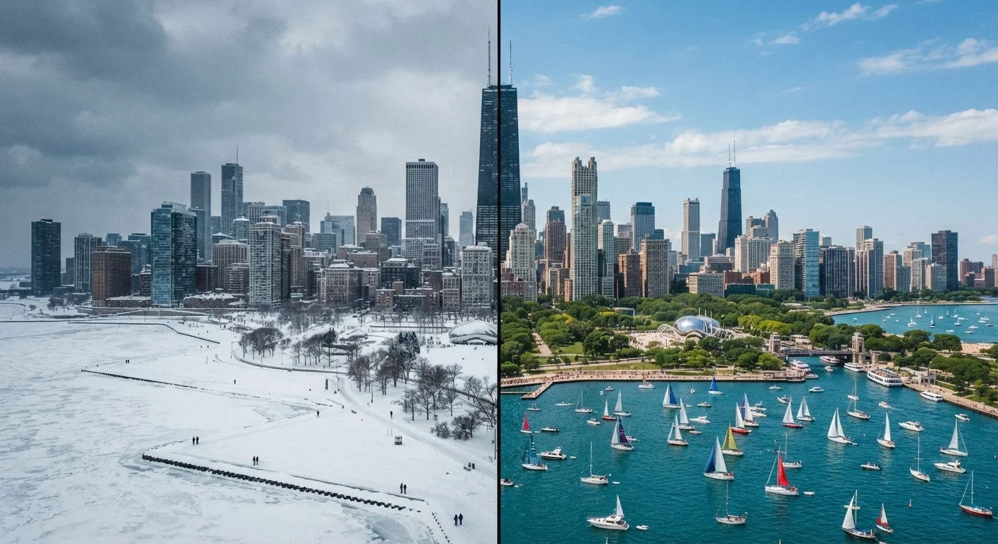
- Illinois kicks things off in Chicago and transitions quickly into small Midwestern towns with original diners and filling stations.
- Missouri offers the Ozarks, roadside caves, and the neon-lit streets of Springfield.
- Kansas is the shortest segment — only 13 miles — but includes the preserved town of Galena.
- Oklahoma has more original Route 66 mileage than any other state, with the art deco architecture of Tulsa and Oklahoma City as highlights.
- Texas runs through the Panhandle past Amarillo and the surreal Cadillac Ranch art installation.
- New Mexico blends pueblo architecture, high desert landscapes, and the culturally rich city of Albuquerque.
- Arizona is widely considered the scenic crown of the route, featuring the Painted Desert, Petrified Forest National Park, and the well-preserved town of Williams.
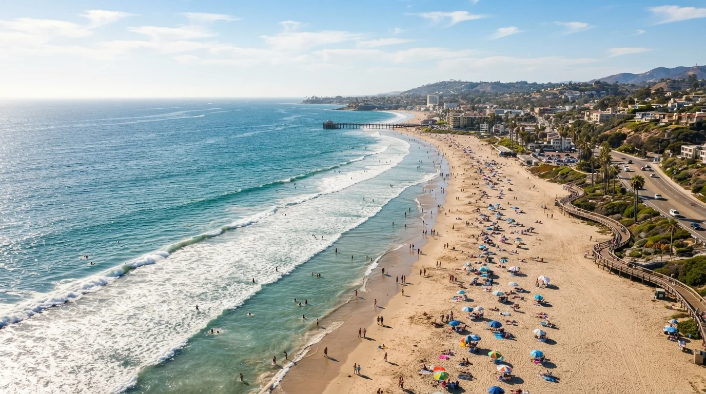
- California closes the journey through the Mojave Desert and into the Los Angeles basin, ending at the Santa Monica Pier.
~85%
Original alignment still driveable
Travel historians and Route 66 preservation associations estimate roughly 85 percent of the original highway can still be driven in some form.
2,400 mi
Total length Chicago to Santa Monica
The original Route 66 stretched approximately 2,400 miles across eight states from Illinois to California.
10–14 days
Recommended travel time for full route
Most experienced Route 66 travelers recommend a minimum of 10 to 14 days to drive the full alignment with meaningful stops.
Setting Realistic Expectations Before You Leave
Route 66 rewards travelers who approach it as a slow, exploratory journey rather than a point-to-point drive. Many first-timers underestimate how much time the route demands. Skipping too quickly through states means missing the small towns, local diners, and weathered roadside Americana that define the experience.
Fuel planning deserves particular attention. In rural stretches — especially through western Oklahoma, the Texas Panhandle, and the Arizona high desert — gas stations can be 40 or more miles apart. In summer, temperatures in the desert southwest regularly exceed 100°F, making car preparedness and hydration non-negotiable.
Some sections of the original alignment are unpaved, seasonal, or closed. The most notable unpaved stretch is the "Oatman Highway" portion in Arizona's Black Mountains — dramatic but slow. Research each state's specific conditions before you go, and build flexibility into your itinerary rather than booking every night's accommodation in advance.
Download Offline Maps Before You Go
Cell service is unreliable or completely absent in several remote stretches of Route 66, particularly in the Arizona and New Mexico desert. Download your route offline using a dedicated navigation app before leaving any major city. Carry a printed state-by-state guide as a backup — many Route 66 associations publish updated versions annually.
The Route 66 Experience Worth Having
Despite its fragmented condition, Route 66 delivers a genuinely unique American road trip for travelers willing to do the preparation. The value isn't in checking off miles — it's in the specificity of the places along it: a 1950s motel sign still lit in Tucumcari, New Mexico; a hand-painted mural in Galena, Kansas; a diner in Flagstaff, Arizona that has served travelers since the highway's heyday.
For first-time road trippers, Route 66 is a strong domestic choice because it scales well. You can drive the full 2,400-mile alignment or focus on a single state or region. Arizona and New Mexico together make a compelling standalone week-long trip for those who want the most visually dramatic portion without committing to the full route.
“Route 66 is not really a road anymore — it's a idea about American movement and freedom that happens to have some asphalt attached to it. The traveler who understands that will enjoy it far more than the one who expects a highway.”
— Michael Wallis, Author and Route 66 historian
Travel conditions, road closures, and local business hours along Route 66 can change. Verify current route conditions, entry requirements, and safety information with state transportation departments and official tourism resources before your trip.